
Manhattan Beach Previous Residents by Era
A useful house history begins with the record that matches the question. The Los Angeles County recorder can establish transfers, but deeds do not name every person who lived at an address. Directories and census schedules add household clues. City permits explain when a structure changed, while probate and obituaries can close a former resident's trail. The following coverage map keeps those roles separate.
| Source | Years It Covers | Where Held | What It Shows |
|---|---|---|---|
| Los Angeles County RR/CC deeds and indexes | 1851-present | Norwalk RR/CC; lower level for 1851-1957 and second floor for 1958-present | Grantors, grantees, recording references, legal descriptions, and recorded transfers |
| Los Angeles County Assessor parcel roll | Current roll; historical depth not specified | Assessor Portal and public service channels | AIN, situs, legal description, map context, values, and parcel characteristics |
| Manhattan Beach phone directory | 1960 specifically verified | Manhattan Beach Historical Society collection; multiple copies reported | Listed name, address, and telephone details, subject to the actual volume |
| Federal population census | 1920, 1930, 1940, and 1950 | NARA, partner sites, and library research access | Household members, relationships, ages, birthplaces, and street address |
| City maps and street index | 1923 map plus current maps | Manhattan Beach map gallery, city records, and local collections | Street alignment, subdivision context, and former road names |
| Permits and plan files | City-era files; earliest year not published | Community Development CSS, records computer, or CPRA request | Project dates, permit roles, inspections, and structure history |
| Probate and obituaries | Event-specific; online LASC probate coverage starts in 1983 | Los Angeles Superior Court, libraries, newspapers, and archives | Death clues, relatives, heirs, estate transfers, and last known connections |
No authoritative Manhattan Beach Sanborn year list was located. Do not insert a generic Sanborn run into a previous-residents timeline. Use the verified 1923 map, deeds, the 1960 directory item, census years, and a targeted collection inquiry instead.
Start a Manhattan Beach Address Trail
For previous residents, begin with the current street line in the Los Angeles County Assessor Portal. Its public search uses an AIN or address and offers Basic, Legal, and Map modes. Record the exact situs address, ten-digit Assessor Identification Number, legal description, parcel position, and any published property characteristics. The AIN and legal description are the bridge between a modern label and older county instruments.
The public web entry does not offer an unrestricted owner-name search. That limitation matters. The Assessor helps identify the parcel, but it does not provide a complete current-resident list. A situs is the physical place. A mailing address may belong to an office, trustee, PO box, or another city. Keep those fields apart before moving to the recorder.
Trace Manhattan Beach Deeds Backward
Los Angeles County's real-estate records are public, but the grantor-grantee index is not an online address search. It is arranged by party name and recording year at Norwalk, so the chain runs from a known parcel to earlier parties.
- Use the Assessor address result to capture the AIN, situs, and legal description.
- Obtain a known purchase deed or lawful counter record, because RR/CC cannot begin the index search from an address.
- At Norwalk, search the known buyer as grantee around the likely purchase year and note the seller, recording reference, date, and legal description.
- Search that seller as grantee in an earlier year, checking the legal description at every step for same-name and multiple-property errors.
- Repeat backward, then layer directories, census schedules, permits, probate, and newspapers over the title trail.
- Grantor and grantee
- The grantor conveys an interest. The grantee receives it. A seller is often the grantor and a buyer the grantee, but the document controls.
- Chain of title
- The linked sequence of recorded transfers that connects a later interest to earlier instruments for the same land.
- Legal description
- The recorded land description, such as lot, block, tract, or other parcel language. It can identify the land when a street name changes.
- AIN
- The county's parcel key. It helps reconcile an Assessor result with a recorded legal description, but it does not identify every household member.
The Manhattan Beach Norwalk Divide
Insider tip. The RR/CC trail reaches 1851-present, with 1851-1957 on the lower level at Norwalk Headquarters and 1958-present on the second floor. This is an access arrangement, not a missing-record gap.
The alphabetic index uses grantor, grantee, and year, not property address or telephone search. After an instrument number or book and page appears, request the complete document. Viewing is by appointment, with online, mail, fax, and in-person copy channels; processing can take 20 working days.
For the official copy-request path, use the Los Angeles County RR/CC real-estate records request page.
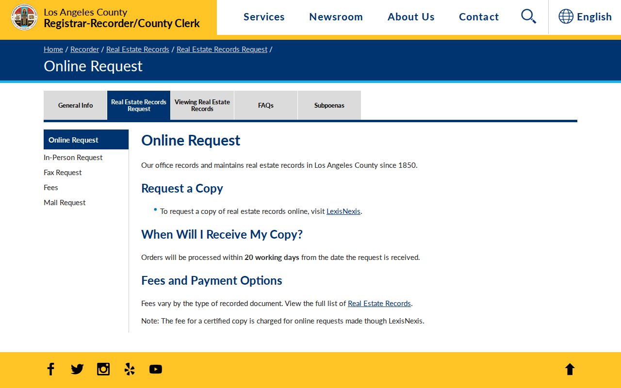
The copy-request image shows the fallback when the index is not convenient to inspect. A request still needs a usable document or instrument reference.
Recorder FAQ. “Public deed” does not mean “web-searchable deed.” The recorder FAQ confirms the address-search limit and complete-document rule.
For the offline historical layer, the National Archives at Riverside lists the research-room route for Southern California federal records.
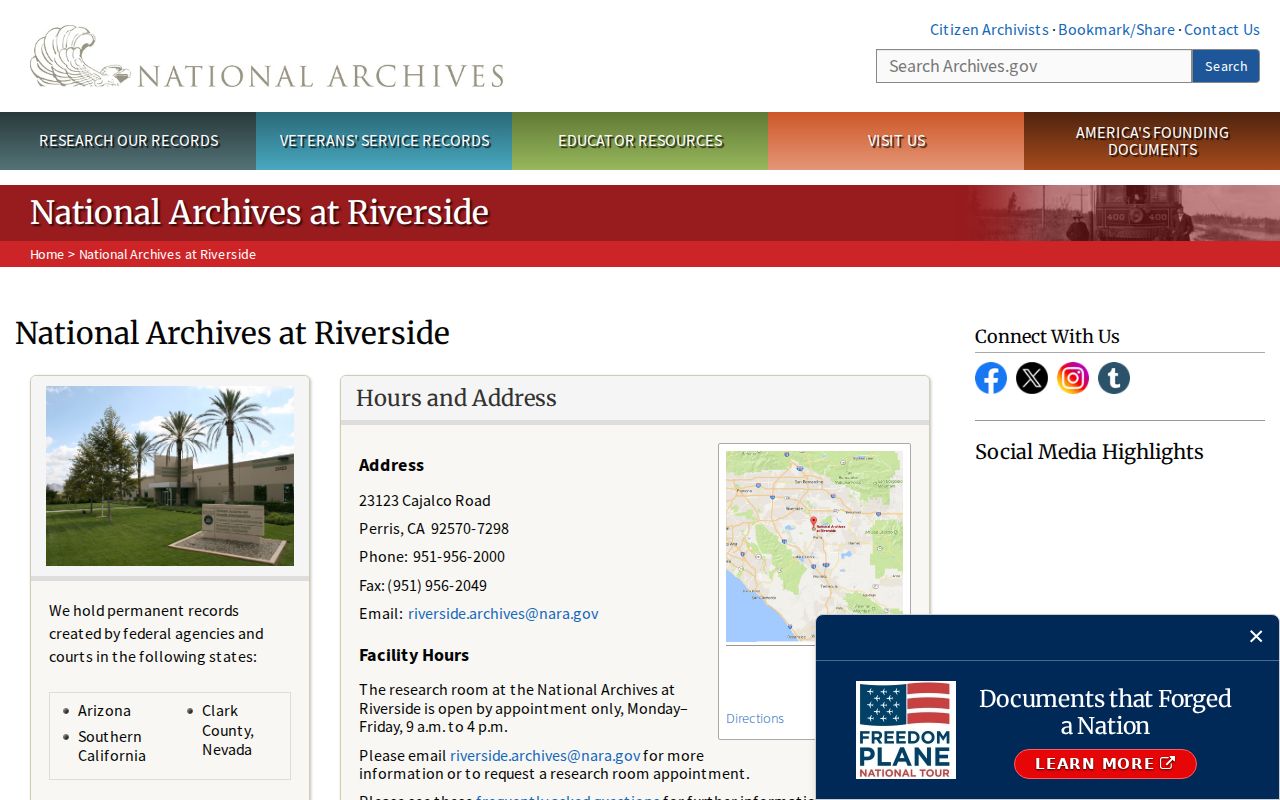
The archive image shows a fallback beyond web indexes. Census, land, court, naturalization, and military series still require the right catalog and access route.
Manhattan Beach Directories Find Households
Deeds show recorded interests; a directory can show a listed subscriber or householder. The only specifically verified local volume is a 1960 Manhattan Beach phone directory. The Historical Society reported multiple copies in 2024, but no complete title-and-year run is published. Exact contents require inspection or curator inquiry.
A period entry normally gives surname, given name or initial, street address, and telephone exchange or number. A spouse or widow cross-reference may appear. A reverse or criss-cross section was not verified for the local item. An omitted name can reflect an unlisted number or publication lag.
The broader shelves are described through the Manhattan Beach city directories page. Use them as a year-by-year household layer, recording the printed address before comparing it with a census page.
Manhattan Beach Census Snapshots, 1920 to 1950
The federal census supplies household snapshots for the city's development era: 1920, 1930, 1940, and 1950. It can add relationships, ages, birthplaces, and street details missing from a deed or phone book. The 1950 schedule is the latest public census as of 2026 under the 72-year rule.
Pair a directory with the nearest census year and test the address and nearby names. Enumeration-district maps help when an old street label does not match a current map. A directory may list one subscriber while the census lists the wider household.
- Write down the directory's exact name, address, and year.
- Locate the same street in the nearest available census schedule.
- Compare household relationships and ages, not just a surname.
- Use the city map or legal description to resolve renamed roads and subdivisions.
- Mark each match as a snapshot, then confirm major conclusions with a deed, permit, obituary, or court record.
For federal census, land, court, naturalization, and military material, consult NARA Riverside genealogy resources. Census evidence identifies a snapshot, not continuous residence.
Manhattan Beach Permits and Plan Limits
City permits place construction, alteration, inspection, or code activity on a parcel. Manhattan Beach Community Development CSS provides search, permit and plan navigation, inspection schedules, invoices, and code enforcement. An account may be needed to apply or track activity; a public computer and CPRA fallback are also identified.
| CSS control | Use in a house history | Limit |
|---|---|---|
| Search | Global self-service record search | A record hit needs address and date review |
| Apply | Permit or plan application path | Account or participation conditions may apply |
| Request Inspection / Daily Inspection Schedule | Permit-linked inspection evidence | Does not identify every person at the address |
| Code Enforcement | Case or request area | Access and exemptions vary by record |
| Login / Register | Application and activity tracking | Conditional control, not a public resident index |
Use the address and date range in a targeted request. Building-plan copies have a special review and copy process under Health and Safety Code section 19851, and permissions may be required. A permit applicant can be an owner, contractor, architect, or prior owner, not proof of residence.
If CSS does not surface an older file, the Manhattan Beach public-records instructions give the CPRA route and request keys. Permits date structures; deeds and household records identify people.
Old Manhattan Beach Names Matter
Address continuity can fail with modern labels alone. Sepulveda Boulevard was formerly Camino Real, and Railroad Drive became the Valley Drive and Ardmore Avenue corridor. The 1923 map documents the west-of-Sepulveda pattern. Search current and former road names together.
El Porto was separate before annexation, so early material may use El Porto, North Manhattan Beach, a subdivision, or another postal description. Manhattan Beach incorporated in 1912 and added “Beach” in 1927, changes that affect catalogs, newspapers, and OCR.
The city map gallery and street index pair with the 1923 map, AIN, and legal description. Note: A former road name bridges records; it does not show that a person moved.
Bruce’s Beach: A Manhattan Beach Case
Story. Bruce’s Beach shows why a serious previous-residents search sometimes needs more than a deed. The city's public historical material brings together property maps, property files, Board of Trustees minutes, ordinances, a 1915 letter, judgments, referee reports, newspaper coverage, and county court papers. Some pages are hard to read because of microfilm quality, so a clear transcription or second source matters.
The collection is a model for connecting a parcel with people, law, municipal action, and community history. A current deed alone cannot explain every past use of land, and a directory alone cannot explain a forced transfer or public decision. The same multi-record habit helps with a less famous Manhattan Beach address: keep the map, deed, household, permit, newspaper, and court clues in their own columns.
The Bruce’s Beach Task Force archive is the local source for this property-history method. It also shows why historical context should be checked against the original record rather than inferred from a modern ZIP or street label.
Probate and Obituaries Close Manhattan Beach Trails
Probate and obituary work can close a former resident's story after the deed and household layers are in place. The Los Angeles Superior Court civil name index includes probate coverage from 1983-present. A party-name result may identify a decedent, personal representative, heir, creditor, attorney, or case number. The role matters. Older proceedings may require a clerk or Archives and Records Center inquiry, and sealed or protected material will not be public.
Human use. Probate petitions, notices, inventories, orders, and recorded transfers can connect a deceased person to relatives or land, subject to redaction and access rules. An obituary from local newspapers or a library database can supply a last address, relatives, funeral details, or a former neighborhood. Treat the notice as a lead. Verify a key relationship with an official death record, court filing, cemetery record, or recorded transfer.
Previous-resident research belongs to family history, house history, and lawful personal curiosity. Keep the focus on historical records, do not try to expose protected addresses, and never use an address trail to stalk, harass, or track a living person.
Lawful use. A past-residents record is not permission to contact or monitor anyone. Respect California confidentiality programs, sealed records, and the privacy of living households while checking every claim with its custodian.